
Keyword
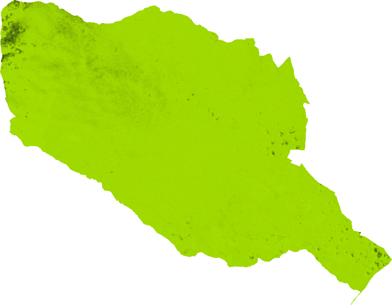
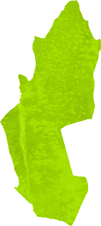
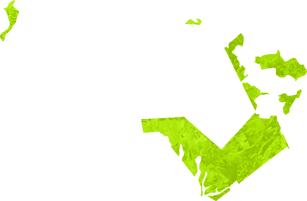
Soil Monitoring
436 record(s)
Type of resources
Available actions
Topics
Keywords
Contact for the resource
Provided by
Years
Formats
Representation types
Update frequencies
Status
Scale
-
Bi: Brightness Index: This index is representing the average of the brightness of a satellite image. The Brightness Index algorithm is representing the average of the brightness of a satellite image. The result looks like a panchromatic image with the same resolution of the original image.This index is therefore sensitive to the brightness of soils which is highly correlated with the humidity and the presence of salts in surface (Escadafal, 1989). The BI results from the following equation: BI = sqrt( ( (red_factor * red * red_factor * red) + (green_factor * green * green_factor * green) ) / 2 )
-
Ci: Colour Index: The Colour Index algorithm was developed to differentiate soils in the field.
-
Colour Index: The Colour Index algorithm was developed to differentiate soils in the field. Low valued CIs have been shown to be correlated with the presence of a high concentration of carbonates or sulfates and higher values to be correlated with crusted soils and sands in arid regions (Escadfal 1989). In most cases the CI gives complementary information with the BI and the NDVI. Used for diachronic analyses they help for a better understanding of the evolution of soil surfaces. The CI results from the following equation: CI = (red_factor * red - green_factor * green) / (red_factor * red + green_factor * green)
-

Brightness Index: This index is representing the average of the brightness of a satellite image. The Brightness Index algorithm is representing the average of the brightness of a satellite image. The result looks like a panchromatic image with the same resolution of the original image.This index is therefore sensitive to the brightness of soils which is highly correlated with the humidity and the presence of salts in surface (Escadafal 1989). The BI results from the following equation: BI = sqrt( ( (red_factor * red * red_factor * red) + (green_factor * green * green_factor * green) ) / 2 )
-

Colour Index: The Colour Index algorithm was developed to differentiate soils in the field. Low valued CIs have been shown to be correlated with the presence of a high concentration of carbonates or sulfates and higher values to be correlated with crusted soils and sands in arid regions (Escadfal 1989). In most cases the CI gives complementary information with the BI and the NDVI. Used for diachronic analyses they help for a better understanding of the evolution of soil surfaces. The CI results from the following equation: CI = (red_factor * red - green_factor * green) / (red_factor * red + green_factor * green)
-

Colour Index: The Colour Index algorithm was developed to differentiate soils in the field. Low valued CIs have been shown to be correlated with the presence of a high concentration of carbonates or sulfates and higher values to be correlated with crusted soils and sands in arid regions (Escadfal 1989). In most cases the CI gives complementary information with the BI and the NDVI. Used for diachronic analyses they help for a better understanding of the evolution of soil surfaces. The CI results from the following equation: CI = (red_factor * red - green_factor * green) / (red_factor * red + green_factor * green)