
Keyword
Coast
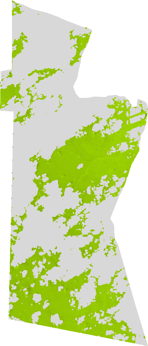
96 record(s)
Type of resources
Available actions
Topics
Keywords
Contact for the resource
Provided by
Years
Formats
Representation types
Update frequencies
Status
-
Brightness Index: This index is representing the average of the brightness of a satellite image. The Brightness Index algorithm is representing the average of the brightness of a satellite image. The result looks like a panchromatic image with the same resolution of the original image.This index is therefore sensitive to the brightness of soils which is highly correlated with the humidity and the presence of salts in surface (Escadafal 1989). The BI results from the following equation: BI = sqrt( ( (red_factor * red * red_factor * red) + (green_factor * green * green_factor * green) ) / 2 )
-

Chlorophyll content in the leaf: corresponds to the content of chlorophyll a chlorophyll b and carotenoids per unit of leaf area.
-

Enhanced vegetation index: In areas of dense canopy cover where leaf area index (LAI) is high the blue wavelengths can be used to improve the accuracy of NDVI as it corrects for soil background signals and atmospheric influences. Values description: The range of values for EVI is -1 to 1 with healthy vegetation generally around 0.20 to 0.80.
-

Colour Index: The Colour Index algorithm was developed to differentiate soils in the field. Low valued CIs have been shown to be correlated with the presence of a high concentration of carbonates or sulfates and higher values to be correlated with crusted soils and sands in arid regions (Escadfal 1989). In most cases the CI gives complementary information with the BI and the NDVI. Used for diachronic analyses they help for a better understanding of the evolution of soil surfaces. The CI results from the following equation: CI = (red_factor * red - green_factor * green) / (red_factor * red + green_factor * green)
-

Brightness Index: This index is representing the average of the brightness of a satellite image. The Brightness Index algorithm is representing the average of the brightness of a satellite image. The result looks like a panchromatic image with the same resolution of the original image.This index is therefore sensitive to the brightness of soils which is highly correlated with the humidity and the presence of salts in surface (Escadafal 1989). The BI results from the following equation: BI = sqrt( ( (red_factor * red * red_factor * red) + (green_factor * green * green_factor * green) ) / 2 )
-

Chlorophyll content in the leaf: corresponds to the content of chlorophyll a chlorophyll b and carotenoids per unit of leaf area.
-

Canopy water content (CWC) the amount of water stored in the vegetation canopy is typically determined by multiplying the leaf water content by the canopy leaf area index (LAI). This calculation incorporates information about the leaf water condition and the canopy structure [1]. CWC is a critical parameter for assessing vegetation growth and monitoring drought stress. It is influenced by soil water supply and atmospheric demand.
-

The fraction of absorbed photosynthetically active radiation (FAPAR sometimes also noted fAPAR or fPAR) is the fraction of the incoming solar radiation in the photosynthetically active radiation spectral region that is absorbed by a photosynthetic organism typically describing the light absorption across an integrated plant canopy. This biophysical variable is directly related to the primary productivity of photosynthesis and some models use it to estimate the assimilation of carbon dioxide in vegetation in conjunction with the leaf area index. FAPAR can also be used as an indicator of the state and evolution of the vegetation cover with this function it advantageously replaces the Normalized Difference Vegetation Index (NDVI) provided it is itself properly estimated.
-

Difference Vegetation Index: This index is sensitive to the amount of vegetation. The Difference Vegetation Index algorithm is sensitive to the amount of vegetation. This is the simplest vegetation index: - Sensitive to the amount of vegetation - Distinguishes between soil and vegetation - Does NOT deal with the difference between reflectance and radiance caused by the atmosphere or shadows. The DVI results from the following equation: DVI = (IR_factor * near_IR - red_factor * red). In the area of red the incoming solar radiation won't be extensively absorbed by the pigments of the mesophyll inside the folios primarily by the chlorophyll. In the area of the near infrared in contrast the bigger part of the incoming radiation was reflected.